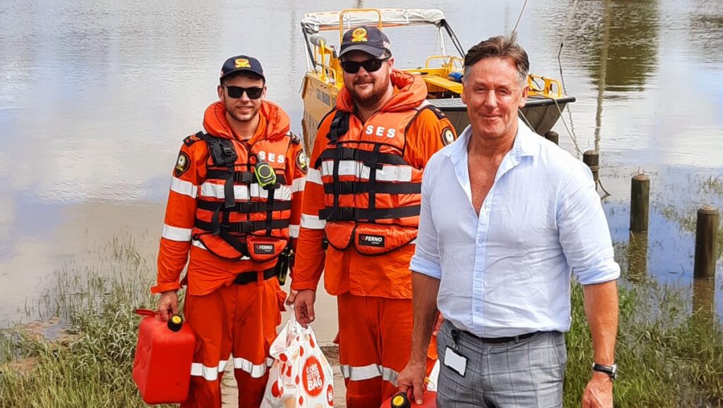
Logan City Council will ensure residents are ‘flood-aware’ as it undertakes major updates of its Flood Studies Review Program.
The Flood Studies Review Program aligns with State Planning Policy and recommendations from the Queensland Floods Commission of Inquiry to share updated flood information with the community.
It will help residents to be aware of their property’s potential risk of flooding and to support better planning, preparation and decision-making.
City of Logan Mayor Darren Power said Council is equipping the community with the latest information to better protect people and property.
“We have an obligation to ensure people know about flood risk and a duty to ensure the safety of our community,” Cr Power said.
“It’s important for people to understand that more extreme weather events will occur and we need to be prepared.
“This requires an evidence-based approach to guide future development and decisions in flood-affected areas of our city.”
There were 263 homes inundated by riverine flooding in the February-March floods.
“The devastation wreaked by these extreme weather events cannot be underestimated,” Cr Power said.
“Several major flood events have impacted the City of Logan and our community. This experience has been a timely reminder of the importance of planning our city’s growth sensibly, with consideration of an increasing flood risk.
“Weather experts are telling us there is more severe weather likely to come with threats of La Nina to bring above average rainfall and possible flooding. While we don’t want to be alarmist, we need to be informed and prepared.”
The Flood Studies Review Program considers new rainfall and river level information from recent flood events, changes in a growing city, and the latest technology, standards and industry best-practice to help plan future growth to keep the community safe.
New information for the Logan and Albert Rivers and Slacks and Scrubby Creeks catchments is available on Council’s website. The mapping depicts a weather event that has a 1 per cent chance of happening, or a 1 in 100 chance, in any year.
Residents can access the flood reports at Council’s online PD Hub, where a map of the potential flood risk for selected properties is available (loganhub.com.au)
Further updates for other catchments across the city will be made in 2023 and 2024 as the rolling program continues. They include Henderson Creek, Days Creek, Quinzeh Creek, Windaroo and Belivah Creek, Chambers Creek and Upper Oxley Creek.
Council is also preparing its new Planning Scheme which will incorporate updated flood information and best-practice flood mapping methods.
Risk at each property will be identified, including how slow or fast the water may move across an area during a flood, and potential depth. It may also impact the type of future development permitted in those areas.
“We can’t stop severe weather events or control where and when rain falls, but by understanding our flood risk we can better protect our community,” Cr Power said.
“Part of the appeal of living in Logan is that we’re a green city. We have beautiful rivers, creeks and waterways that are an important part of our natural environment.
“However, that is sometimes a hazard. In some areas the level of flood risk will increase because of our improved understanding of flooding and updated data and modelling.
“It could mean that some homes, businesses or parcels of land may have a higher flood risk than previously considered. That includes people who have never experienced a major flood event.
“We are having conversations with those residents to keep them informed and they will also receive letters from Council.”
Council will publish information as it becomes available to ensure residents are equipped with the latest updates to assist them to become flood-aware, flood-ready and flood-resilient.